
DeKalb County under winter advisory, snow storm to pass
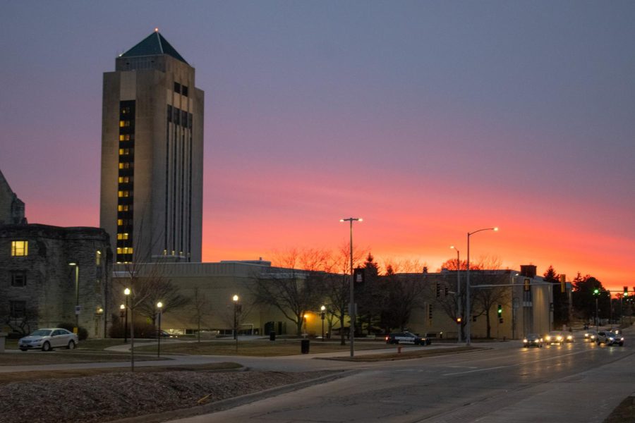
The sun sets beyond the west side of campus Tuesday as drivers pass down Lucinda Avenue. (Sean Reed | Northern Star)
February 21, 2023
DeKALB – Freezing rain is expected to accumulate up to a 10th of an inch, causing hazardous driving conditions as DeKalb County has been issued a Winter Weather Advisory by the National Weather Service.
Most of Northern Illinois will experience minor storm conditions, as it’s on the southern fringe of the storm. Further north of campus, commuters might find the drive to be a bit brisk.
“We’ll get a good, heavy rain around here, maybe wash some salt off, that would be great,” said Walker Ashley, NIU professor for the Department of Earth, Atmosphere and Environment. “People that are traveling northbound towards Rockford into Madison or Milwaukee need to probably be careful.”
Residents in numerous states are beginning to brace for impact as a major winter storm pushes through the country, spanning over 1,600 miles, blanketing the Northern Plains as well as the Upper Midwest in immense amounts of snow.
Along with the snow, freezing rain, strong winds and other hazardous travel conditions can be expected.
Ashley described the magnitude of the oncoming storm.
“It’s called a ’95th percentile’ sort of event,” Ashley said. “The fact that it’s over such a wide swath of the United States – anywhere from the West Coast to what we’re seeing over in the New England – is a pretty expansive winter storm set up, and it’s a unique storm in the sense that there’s going to be two sets of low pressures that come out. And that makes it last a little bit longer than, say, a normal singular storm.”
Ashley explained stronger storms will appear in November, March and April – the transition months between seasons.
“Right now we’re dealing with below-zero temperatures along the Canadian border with abnormally warm temperatures in the Southeast, pushing into the mid-80s,” Ashley said. “That’s quite unusual for February, but Mother Nature has an ability to equalize that – over time, it does that by creating a storm.”
For Tuesday, expect limited thunderstorms. On Wednesday there is potential risk for ice accumulation, sleet, thunderstorms and flooding. There will be a wind risk until Thursday.