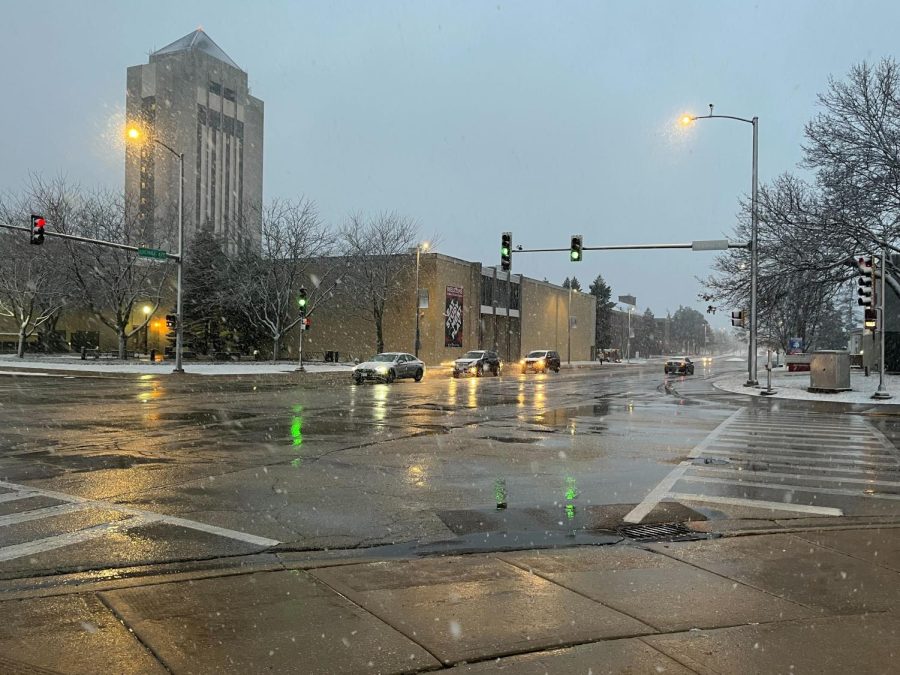

DeKALB – After experiencing a day of sunshine, we still can’t seem to escape winter’s grasp.
There is a 70% chance of snow Friday, with approximately 1 to 2 inches expected, according to the National Weather Service.
Wind gusts are expected to be 10 mph to 15 mph in the morning and 15 mph to 20 mph in the afternoon. There is a possibility of gusts of wind up to 35 mph in the evening.
However, shifting weather patterns give a glimmer of hope for DeKalb.
“We’ll probably get maybe a dusting, an inch or two on campus. I think a lot of thunderstorm activity has kind of shifted the storm’s track to the south,” said Victor Gensini, an undergraduate advisor for meteorology and associate professor of geology and environmental geoscience.
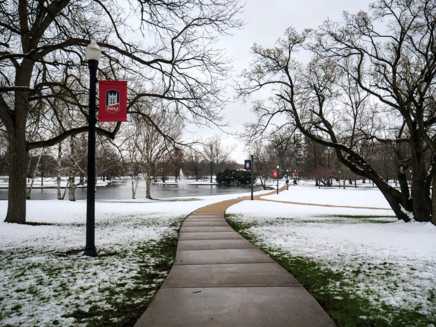
Gensini said he thinks that we’ll soon be moving to warmer weather and that from a historical climate perspective, February tends to have the most snow.
As we get closer to June, the likelihood of snow will greatly diminish, Gensini said.
“It’s all about variability, and certainly climate change plays a role on modifying that,” Gensini said.
According to the National Weather Service, in the next 10 days, the weather will be averaging in the 40s, with a mild chance of rain throughout. The high will be 59 degrees on Monday with a low of 33 degrees next Saturday.
As a whole, this winter was mild, Gensini said. As climate change begins to worsen, January and February will remain generally the same, but the months before and after will be warmer by the end of the century.